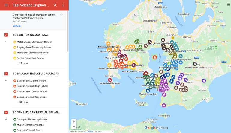
In the aftermath of the Taal Volcano eruption, Google Philippines, with the help of volunteer mappers, sourced the list of evacuation centers from the Batangas Public Information and made it available on Google Maps.
To assist those affected by the eruption, Google has made available a consolidated map of evacuation centers on Google Maps. Hopefully the list will prove useful to those who need shelter, rescue and assistance, as well as for people who are looking for ways to help.
Alternatively, users can also use search to look for the map:
- Go to Google.com.
- Search for “Evacuation centers for the Taal eruption”


1 Comment
Thank god for GOOGLE.